
Bandung, BRIN Public Relations. The need for accurate and integrated geological data to support geological exploration, disaster mitigation, and geospatial-based planning is increasingly pressing. To address this challenge, the National Research and Innovation Agency (BRIN), through the Geological Resources Research Center (PRSDG), is strengthening the development of an independent technology platform that integrates field surveys, data processing, and laboratory analysis. This step is also aimed at ensuring the availability of reliable information to support research and strategic decision-making across sectors.
The Head of BRIN Geological Resources Research Center (PRSDG), Iwan Setiawan, stated that the platform development includes a field survey system, data acquisition and processing, and laboratory analysis to produce accurate, detailed information that can be widely used in research and decision-making. He welcomed the participation of industry stakeholders to explore potential synergies and opportunities for research collaboration.
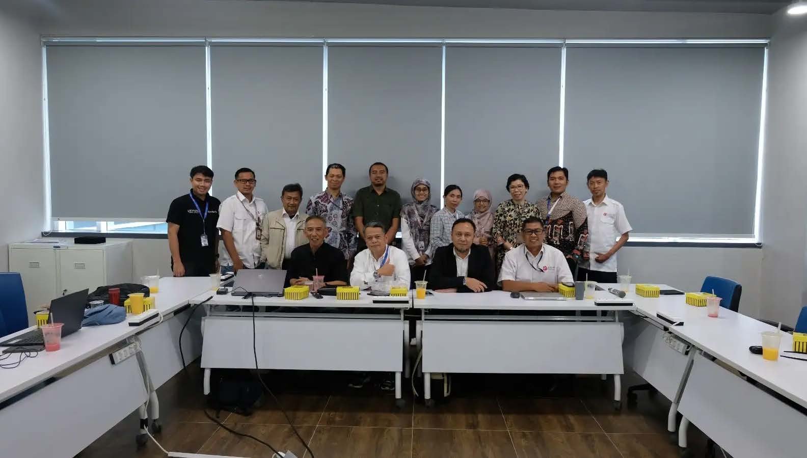
We are very open to discussions regarding support for survey technology and geological resources, especially those that can be implemented for research purposes and the needs of the wider community, said Iwan during a strategic visit from PT Lextera Survey Indonesia to explore research and innovation collaboration in survey, geological, and disaster technology at the Samaun Samadikun Science and Technology Area (KST), Bandung, on Wednesday (April 29).
Iwan emphasized that the characteristics of geoscience research, which involves collecting representative, accurate, and detailed field data, followed by advanced laboratory analysis, require the support of comprehensive survey equipment and modern, valid, and integrated geoscience laboratory equipment.
This is becoming increasingly important as the need for geological research, particularly geological resources, increases to support mineral security, downstreaming, and the achievement of net-zero emissions targets, he explained.
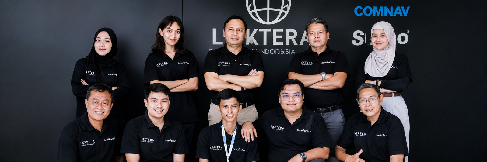
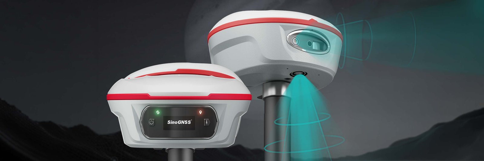
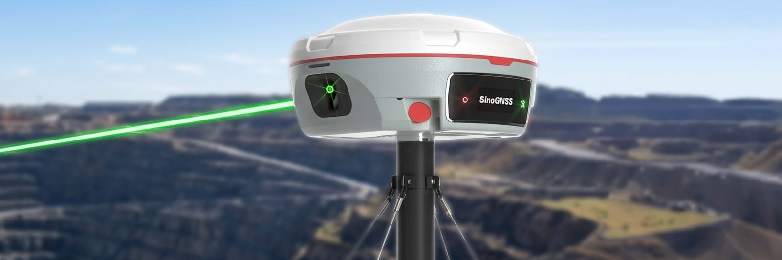
The Director of PT Lextera Survey Indonesia, Rudhi Wibawa, in his presentation, stated that the main objective of the visit was to build collaboration in the development of independent technology platforms. He explained the challenges of global technology protection that often hamper field operations, such as connectivity constraints on critical infrastructure.
Through collaboration with BRIN, we hope to create a technological intersection that strengthens geological resilience, disaster mitigation, and operational cost efficiency of survey equipment in Indonesia, he said.
According to Rudhi, Lextera needs to take strategic steps to strengthen technological synergy with BRIN. He also hopes this collaboration can accelerate the integration of cutting-edge innovations into practical solutions relevant to the needs of the national industry.
Lextera is committed to continuing to support sustainable research and development that directly impacts operational efficiency in the field. We are optimistic that technical support and exchange of expertise with BRIN will set new standards in providing more accurate and reliable survey services and geospatial technology, he said.
Collaboration is Key to Strengthening Active Fault Research in Indonesia
Sonny Aribowo, a researcher at the BRIN Geological Disaster Research Center (PRKG), explained his research activities on active faults in Indonesia using drone technology. In implementing this, he still faces constraints such as limited equipment and human resources, which opens up opportunities for future collaboration.
In line with this, Dini Nurfiani, a PRKG researcher, and Rizka Maria, a PRSDG researcher, emphasized the importance of collaboration in the shared use of survey equipment to support research activities. Furthermore, Lediyantje Lintjewas and Purnama Sendjaja, PRSDG researchers, also expressed their hope for the development of an integrated research technology platform, particularly in the field of mineral exploration.
Responding to these various needs, PRSDG Principal Expert Researcher at BRIN, Noor Cahyo Dwi Aryanto, provided critical insights into the flexibility of the tool in various terrains, including water areas. He highlighted the importance of tool penetration and opportunities for concrete, mutually beneficial collaboration, drawing on case studies of strategic projects such as the construction of the Giant Sea Wall in Jakarta.
Responding to this, Alvindo, Technical Support for PT Lextera Survey Indonesia, explained that although the majority of current case studies are on land, specifically in the mining sector, his company already has technological solutions for water areas.
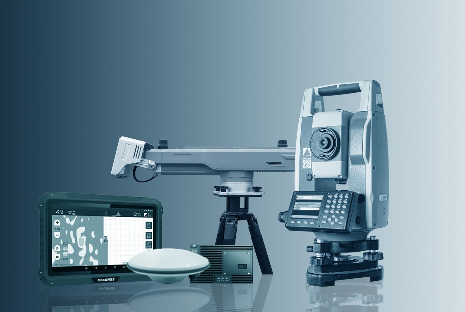
For survey needs in marine areas, we have the SV600 Unmanned Surface Vessel technology. This tool is specifically designed to conduct autonomous bathymetric surveys and underwater mapping, which makes it highly feasible to implement in case studies for coastal infrastructure development and other marine research, said Alvindo.
With this exchange of views, this discussion is expected to be the first step in developing a more concrete framework for cooperation, both in the form of developing a shared platform and testing cutting-edge survey technology to support the sustainability of geological and disaster research in Indonesia. (ds,sn/ ed.kg,jml)